/https://i.s3.glbimg.com/v1/AUTH_bc8228b6673f488aa253bbcb03c80ec5/internal_photos/bs/2024/Y/k/tcXMrrSyCGmdgnsKL8Fg/64.jpg)


:strip_icc()/i.s3.glbimg.com/v1/AUTH_7d5b9b5029304d27b7ef8a7f28b4d70f/internal_photos/bs/2024/r/T/2SDiYjTBCmsdGJsHsIbA/captura-de-tela-2024-05-06-201910.png)
While photos of the situation in Rio Grande do Sul show a disaster scenario, with entire cities and regions under water, it is natural to wonder how such conditions could be avoided. Floods are the most common natural disaster in the world, so it is strange how we are still vulnerable to them even after advances in science and technology.
As climate change becomes more and more of a reality, researchers are focusing on how technology and scientific knowledge can help predict the impacts of this new behavior on the planet, which basically means preparing for these situations and acting so that the impact on the population is minimal. as possible.
Today, the technology most helpful in this mission is artificial intelligence. Various researchers are studying a way to apply machine learning technology to predict floods and inundations to help raise the alarm before water levels rise.
In March, Google announced that it had used artificial intelligence to successfully predict river floods, up to seven days in advance in some cases. The project was described in an article published in the scientific journal Nature.
Floods, although common, can be difficult to predict because most rivers do not have flow measuring devices. Google then trained machine learning models on all types of relevant data, including historical events, river level readings, elevation readings, and terrain. In doing so, the company created local maps and executed thousands of simulations at each location. This combination of technologies allowed models to accurately predict upcoming floods.
Real-time forecasts
Headquartered in Bergen, Norway, 7Analytics is another team of scientists, made up of IT specialists and geologists, that provides companies and local authorities with real-time flood forecasts and reports on areas particularly at risk of flood damage. Like Google, 7Analytics’ forecast is also seven days.
The Norwegian team’s model uses data that takes into account where the water will flow and where it will cause problems. They claim it is possible to point out that in five days there will be 50cm of water in their area and when it recedes.
To do this, the company’s AI software automatically studies not only the climate, but also the geography of the land and rivers, the degree of construction of the area and its ability to drain water. Previously, these flood forecasting calculations were done by standard software, but the greater computing power and learning ability of AI means that the work can be done more quickly and with much less human intervention.
Simulation and physics
Another company working in this field is Neara, from London. It uses artificial intelligence to create digital flood simulations for the electrical infrastructure sector. These predict how floods are likely to occur, so power grids can prepare and take steps to minimize damage.
Neara claims its data can show where it is safe to restore power after a flood, which cables should be disconnected, where power should be diverted and the exact locations to which engineers should be sent.
Another model in Virginia Beach, US, uses machine learning to interpret water levels from advanced 4K webcams with infrared capabilities. The project was named StormSense.
MIT scientists also developed a method for predicting floods, but they focused on coastal cities and are more related to the impact of hurricanes, a natural phenomenon that we do not usually record in Brazil, but which has become increasingly common in some countries, such as the United States. .
MIT’s forecast model uses a physics-based method to predict how flood risks will evolve under a warmer climate in coastal cities. This is because when hurricanes hit the coast, strong winds stir up ocean water and generate storms in coastal areas. When multiple sources of flooding, such as storms, rainfall and rivers, interact, they can exacerbate hurricane risks, leading to more flooding.
The team then sought to accurately predict the level and degree of flooding. Researchers first used rainfall models to simulate rainfall intensity for a large number of simulated hurricanes, and then applied numerical models to translate rainfall intensity – in terms of water – into ground flooding during hurricane landfall, providing information about an area, such as its surface and surrounding topographic characteristics. .
Next, the team developed a hydrodynamic model to predict how two sources of hurricane-induced flooding, such as storm surge and rainfall-induced flooding, will interact simultaneously in time and space when simulated hurricanes hit coastal areas.
According to the team, the methodology can be applied to any coastal city to assess the risk of flooding from hurricanes and extratropical storms.

“Hardcore beer fanatic. Falls down a lot. Professional coffee fan. Music ninja.”
More Stories
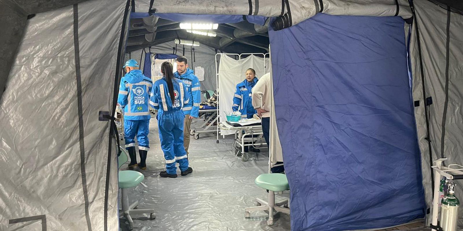
New volunteers from the SUS National Force arrive in Rio Grande do Sul
Local knowledge can improve relationships with the environment
End of mystery? Scientists suggest how the pyramids were built